Southern Kentucky
See where your scent goes.
The cone rides the wind at head height, from the ground or 13 and 20 ft up a tree.
How it's drawn › Groundwind
Beta
The first rule of hunting
Groundwind: the wind, thermals & scent app for deer, elk and moose.
We show you what the wind and thermals are doing at head height, exactly where your scent leaves you.
Already carry onX or Windy? See what to keep them for.

It's made for your phone. Point the camera here to open it there, then add it to your home screen.
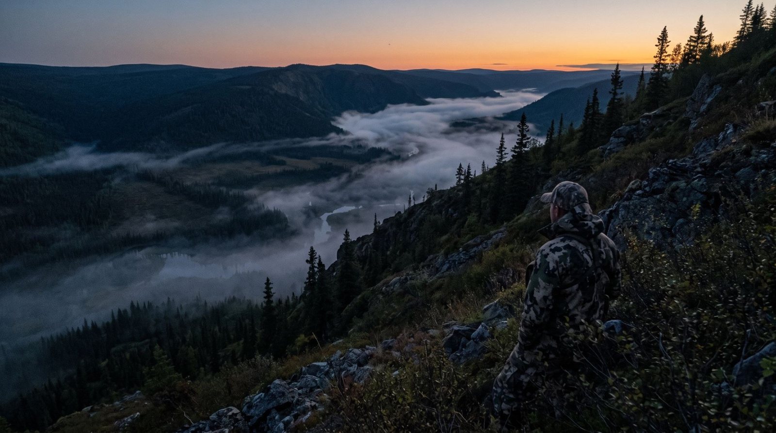
Southern Kentucky
The cone rides the wind at head height, from the ground or 13 and 20 ft up a tree.
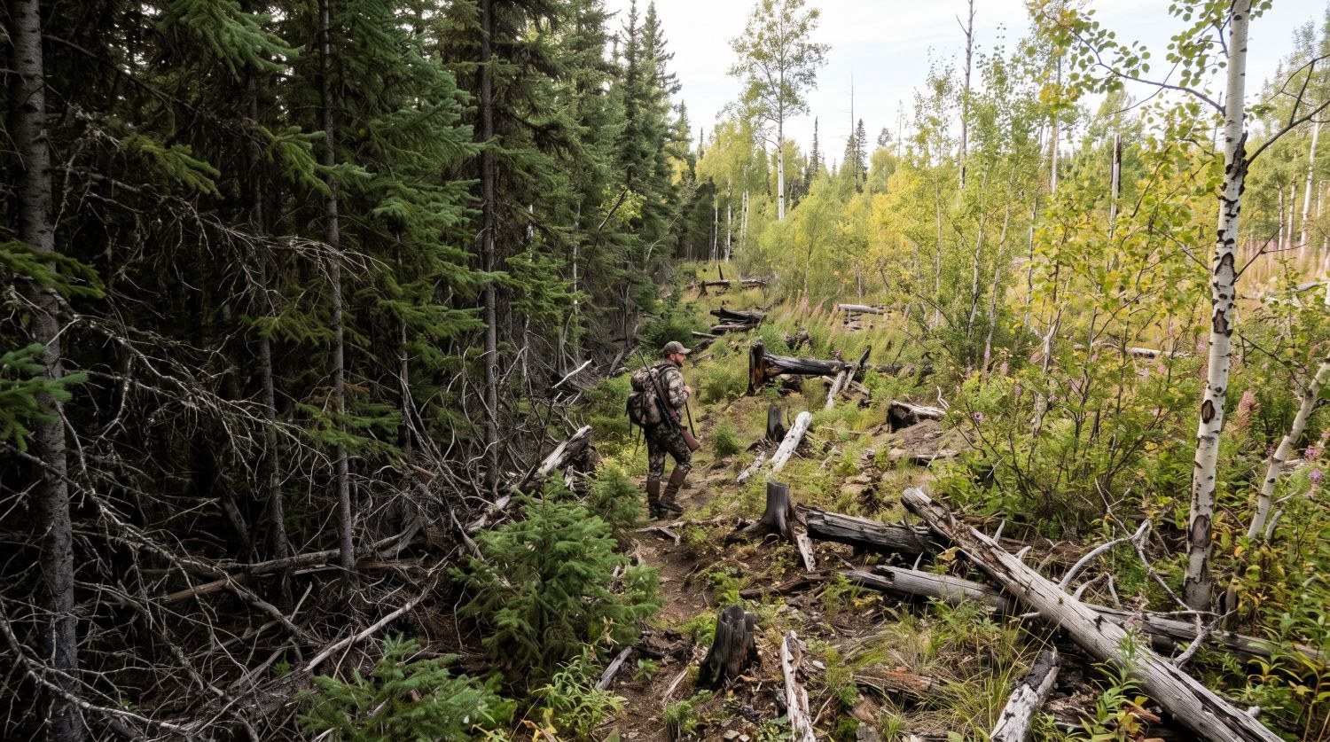
How it's drawn ›Lac Bailey, Québec
Place every sitter and caller, and see whose scent drifts over whom before the evening sit.
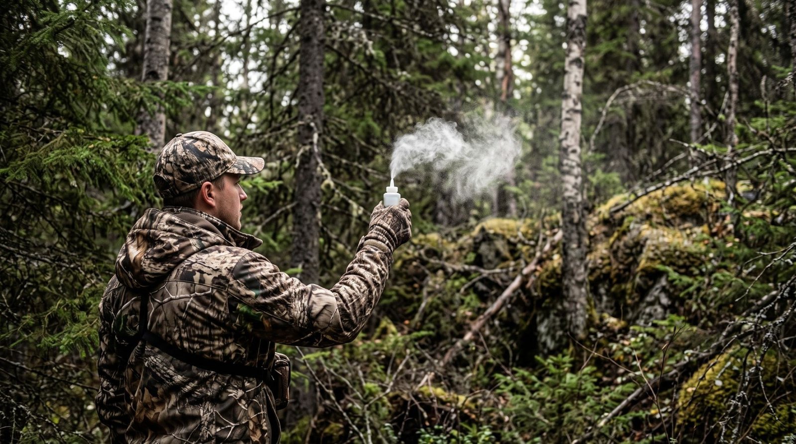
Where the caller goes ›Northern Michigan
Puff your powder, tap where it went, and the map learns your spot.
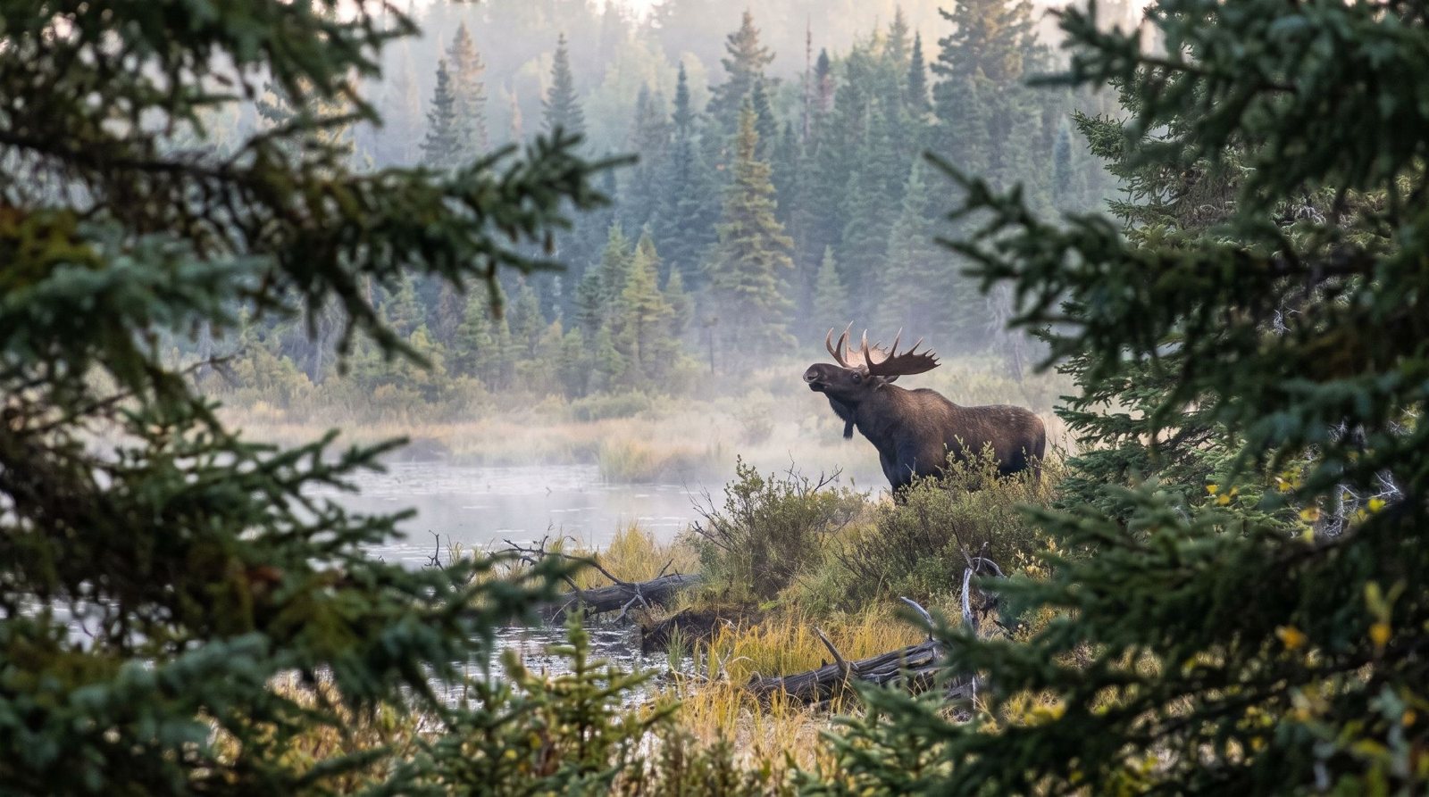
How checks work ›Forecasts are calibrated 10 m in the air, over open ground. Your scent doesn't travel in a straight line. It bends over ridges, slows in the spruce, and drains downhill at dusk. Groundwind shows you where your scent is really going.
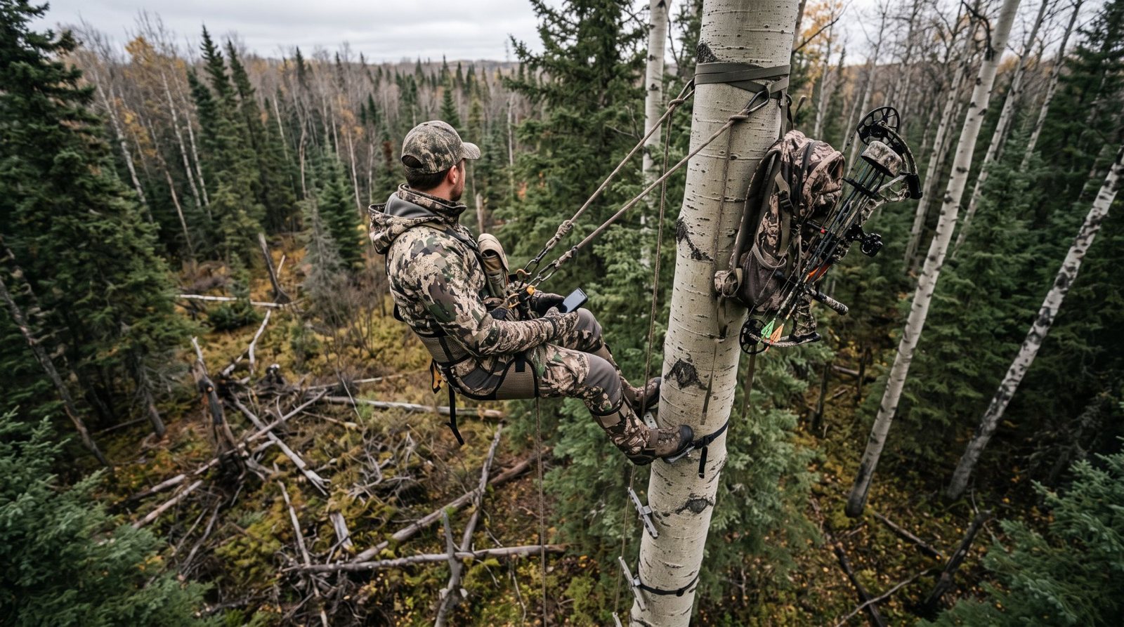
Groundwind takes the 2.5 km HD forecast and solves it over HD LiDAR and every stand of trees, then adds the thermals, the leaves and the swirl, down to head height for any minute of the week. The cone is drawn where your scent is really going, from the ground or from your stand.
Every layer is built on published research, and it all runs on your phone with no bars.
The thicket that takes an hour to cross is where he beds. The old burn is where he feeds. Groundwind uses LiDAR to read the brush at eye level so you can plan your walk and your sit from camp. The bush comes with HD.
Eye-level cover isn't the canopy. Satellite maps only show treetops, but a closed canopy shades the ground out and leaves the timber floor open and quiet to walk through. A cut or an old burn does the opposite—filling in with thick waist-high suckers and saplings. Groundwind reads the brush right at eye level, cell by cell, so you know where you can stalk quietly and where you'll be fighting thickets. Where there's no LiDAR point cloud yet, it estimates the brush from each stand's age and makeup.
A lot of moose and elk hunting is moving. You angle in on a bull you've heard, still-hunt an edge or work round a bluff, and that's where a forecast is least use. Before you step round the corner, see what the air is doing there and how far you'll see.
Routes finds three ways in on foot over the LiDAR ground. One is the easiest walk, and the hunt routes skirt the best ground and keep your scent off it. Your track, the calls you heard and your wind checks are grouped into outings as you go.
Puff your powder and tap where it went. Groundwind learns your spot with every check. The more you put in, the fewer surprises at your stand.
A check pulls the ground wind inside its ring toward what you felt, and it fades with time, more slowly if you say the wind has held. It also becomes a lesson for its kind of air, like cold air draining, a lake breeze or a slot in the trees. That lesson is a turn and a speed correction the model applies wherever that air turns up, forgotten over about two weeks. How many puffs it takes, and how long they hold.
Each check saves what the forecast and the model said beside what you felt, so the hunt log keeps score of how often each was right. If you say yes when the app asks, your checks also come to us without your name or notes, and Groundwind gets to know your spot from them. Settings, then Share wind checks, switches it off.
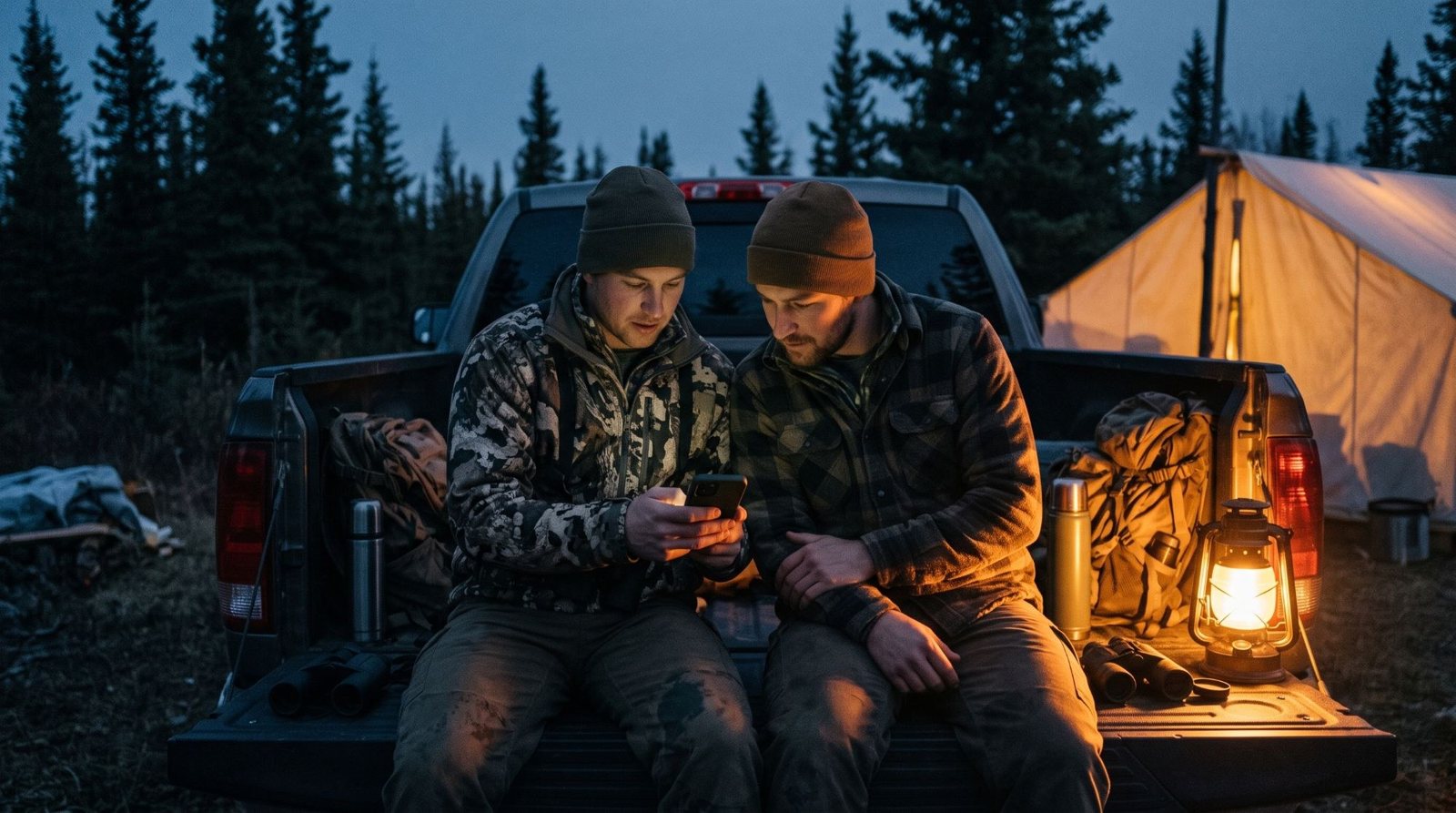
Groundwind scores movement for moose and deer across your area, hour by hour, based on habitat, the rut, canopy cover, and the last 10 days of weather.
Big game feels the heat early. By the third day of highs over 18 °C, moose bed through the heat and move at night. Groundwind flags the first cool day that breaks the heat wave.
Groundwind scores moose, deer, grouse and bear across your area, hour by hour for the week ahead, from the habitat, the last ten days of weather, the wind, the rut and the leaves. It doesn't mean they're there. Log what you see and the map leans toward it for about a week, and blank sits push it down. Every score shows its reasons, and every rule is a knob from off to double.
Groundwind reads the last ten days of highs beside the forecast, because moose feel heat early. Every hour's score carries the temperature, and the scoring says plainly when the game is lying up and when the break is coming. The rules come from habitat guides and published field studies.
| Temperature | Moose activity |
|---|---|
| 10 °C or under | Full |
| 10 to 14 °C | 80% |
| 14 to 20 °C | Half |
| Over 20 °C | About a third |
An example week, in the app's words
warm spell, day 3: bedded through the heat, moving at night
first cool day after 3 warm ones: expect movement
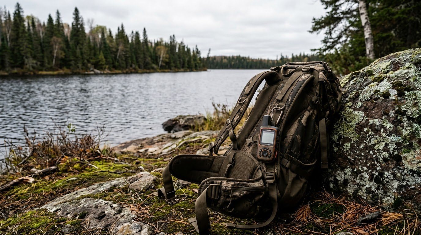
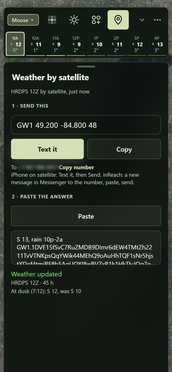
Save your area at camp and it all works with no bars. Out for days? One text from an inReach or a satellite iPhone brings back the next two days of HD forecast.
With signal, Groundwind asks for each new run of the 2.5 km HD forecast (HRDPS) as it lands, four times a day, and saves the next two days on your phone with a seven-day outlook behind them. Walk out of service and it's still there, with its age shown.
Out for days, send the line the app writes for your camp to the Groundwind number from an iPhone on satellite or an inReach. The next two days come back in one 160-character text. Paste it in and the ground wind, your scent cone and the heat map all run on it, because the terrain and the bush are already on your phone.
A single 160-character satellite text packs in 48 hours of wind shifts, gusts, temperatures, and rain. The first few words are plain English for an inReach or satellite iPhone screen: the current wind, the next big shift, and the first rain. The rest feeds straight into the app—updating your scent cones and terrain wind with zero cell service. Sign in once while you still have signal, and the number answers your texts. Two messages on your satellite plan, and you're set for two days.
Prepare as much as you can, bring the best tools you can to the hunt, and adjust it while you're out there, because we all know the best plans don't survive contact with the real world.
Groundwind gets better with every check you put in. Share your wind checks when the app asks and it gets to know your spot, so we can all be more successful on our hunts. They go without your name or notes, and other hunters never see them.
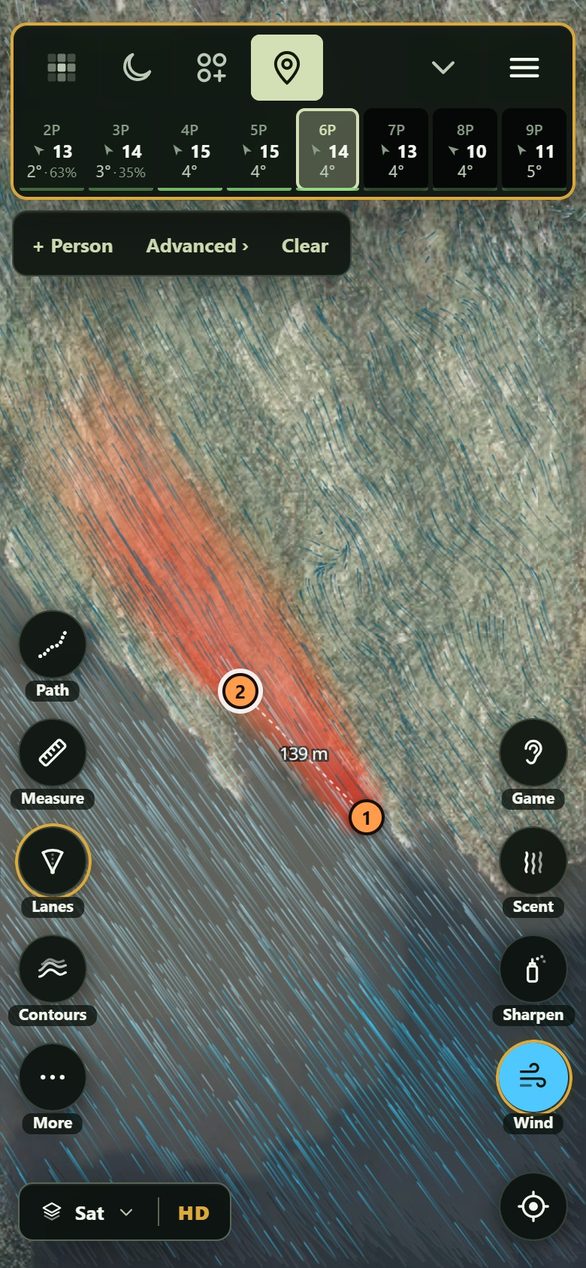
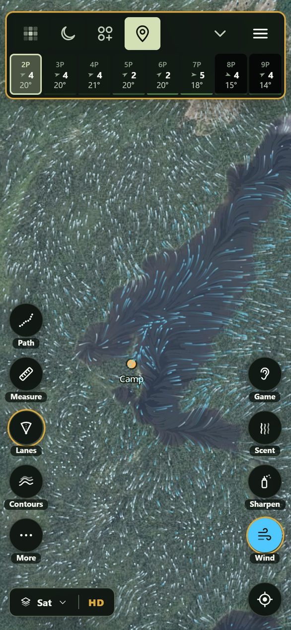
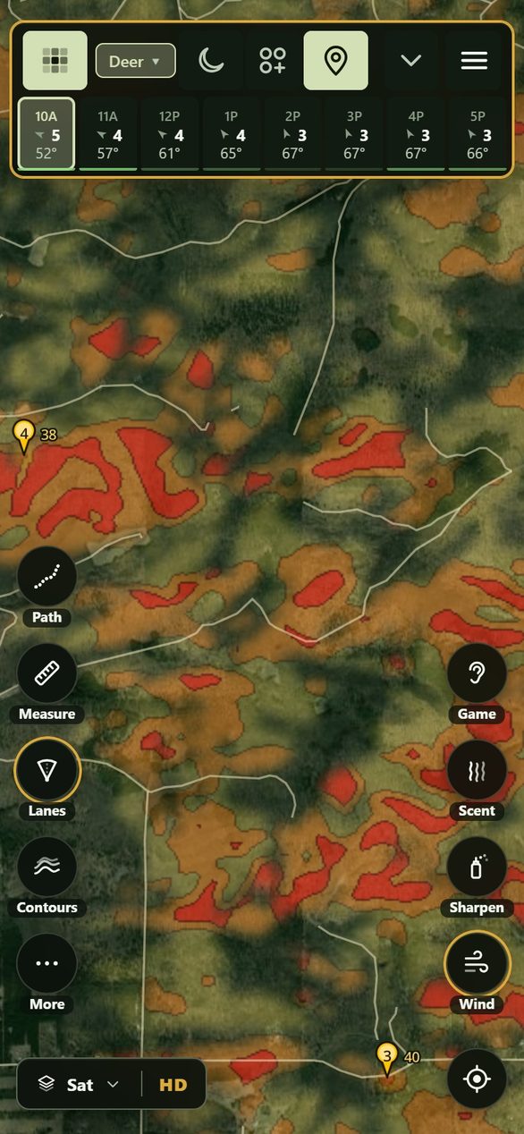
Tap one to open it in the app. Yours will look just like these once it's built.
Put it on your phone, step by step: iPhone or Android, under a minute.
Not in your inbox? Look in Junk or Spam: some mail services put a first email from us there.
Groundwind is a hunting app that shows the wind at head height and where your scent goes, for moose, elk, deer and bear. It takes the 2.5 km HD forecast (HRDPS), solves it over the 1 m LiDAR ground and every stand of trees, adds the thermals, and draws your scent cone from where you sit. Your own wind checks correct it, and it all works on your phone with no signal.
Nothing. Groundwind is free during the beta, and you can ask for up to three spots a day.
Both. Groundwind runs in your phone's browser and goes on the home screen like any app: on an iPhone, Safari's Share, then View More, then Add to Home Screen; on Android, Chrome's Install app. No app store and no account.
Yes, once your area is saved on the phone (Settings, then Maps on this phone). The forecast you saved at camp keeps working with its age shown, and your track, calls and wind checks are kept as you go. Out for days, text for the newest forecast from an iPhone on satellite or an inReach: ⋯, then Weather by satellite.
Our spots open on every phone: Pickle Lake in Ontario, Lac Bailey in Québec, Clearwater in Alberta, the Blanchard River in BC and Pigeon River in Michigan. For your own, tell us where you hunt, and we build it and email you when it's ready. HD, built on 1 m LiDAR and the forest inventory, is made to order around your spot.
We build spots anywhere in the US and Canada. Tell us where you hunt and yours is ready in 1 to 2 hours; we email you when it is.
onX and iHunter cover every province and state, and Windy covers the weather for the whole continent. Groundwind goes deep on the ground you hunt, and out there it's your hunt partner, there to help you make better decisions when it counts. HuntWise, HuntStand and Windy show a forecast wind, worked out for 10 m up over open ground. Groundwind takes it down to head height over your ridge, your stands of trees and your shoreline, draws your scent on that, and lets a puff of powder correct it. Carry it beside them for the last hundred metres. It draws property lines on any spot in Canada and the US, and leaves owners' names to onX and iHunter. What each app does, side by side. Already have your stands in onX? Bring them over, and the file is read on your phone.
For the hunt itself, Groundwind: the wind at head height, your scent cone, where a called bull will swing for your wind, and the whole party's scent on every phone, with no signal needed. For hunting zones and regulations across the province, carry iHunter or onX Hunt beside it. What each app is for in a moose hunt.
Yes, on any spot in Canada or the US. In Ontario, BC, the Yukon and Alberta it draws the lot lines and shows which land is private, as far as each province's open data says. Across Canada it marks First Nation reserves, parks and protected areas, and in Québec the ZECs, outfitters' territories and wildlife reserves. In the US it marks public, closed and tribal land and shows the rest as likely private. It never shows owners' names, and the lines are approximate, so ask before you cross.
A scent cone is the patch downwind of you where an animal can smell you. Drawn from the forecast, it points straight downwind. Groundwind draws it on the wind at head height, so it bends round the ridge, drains downhill at dusk and widens in the gusts and in the lee of a tree line. Hold your dot to say whether you sit on the ground or in a 4 or 6 m stand, and the cone comes down where your scent would.
Your tracks never leave your phone. What comes to us is usage stats: which buttons and screens get used and for how long, under a random id for the phone, so we know what to make better. For a spot you load, its rough area, to about 10 km, so we know where to build next, and whether you're out on it, yes or no, so we know it's used in the field. Never your position, your pins or anything you type, and Settings, then Usage stats switches it off. Your wind checks come only if you say yes when the app asks, after your first one: where and when each was made, what you felt and what the map said, without your name or notes. They teach the wind map how the air moves where you hunt, other hunters never see them, and Settings, then Share wind checks switches it off. Sign in, and your spots, pins, hunt log and wind checks are kept on your account, so they're on every phone you sign in on. Anything else comes only if you send it: a spot you share, or a log you upload when something's wrong. The one exception: if the app crashes, the next time it opens it sends us a short record of what it was doing just before, with your position rounded to about 10 km and the names you gave things taken out, so we can fix it. Usage stats off stops that too. The forecast is fetched from Open-Meteo for your area. The privacy policy has all of it.
This site counts its visits the same way: which parts of a page come on screen and for how long, what gets tapped and where a visit came from, under a random id for your browser. For a spot you look up, its rough area, to about 10 km, or the words if the search finds nothing, so it learns them; never anything else you type. A browser with Global Privacy Control on sends nothing. During the beta, when you ask for a spot or sign in, we keep your visits and your use of the app with your email, so we can see what helped and what got in the way.
It's a model, and every model is wrong somewhere. That's why the checks exist: a puff of powder at your spot beats any forecast, and the hunt log keeps score of how often the forecast and the model matched what you felt.
Yes. Every wind check shows where your scent is going right then, and makes the map more accurate on your ground the next time. Check when you settle in, and again when the thermals switch at dawn or dusk. That's when the air is hardest to read.
Carry both. Powder tells you what the air is doing two feet from your face right now. It won't tell you that 50 yards down the draw, your scent makes a sharp left turn into the cedar swamp where the buck is bedded. A puff of powder tunes Groundwind to the exact air at your spot; the app shows where that air travels next.
Put him 40 yards downwind on the map's scent cone. When the bull winds him and barks at 60 yards, ask him how his scent-suit is holding up.
No. If we could guarantee a bull, we'd charge $10,000 and guide you ourselves. Groundwind keeps you from blowing him out of the county with your scent before you even see him. After that, your aim and your patience are on you.
There's no one distance. What's measured about the nose, what the wind does with your scent, and pee, smoke and bug spray.
Read ›What's been tested on carbon clothing, sprays and ozone, and what cutting your scent does to the cone.
Read ›Bucks come in downwind. Creek bottoms, thermal hubs and windy days, and when the rut peaks where you hunt.
Read ›Where your scent comes back down from 13 and 20 ft up, by day, at night and under the trees.
Read ›Thermals switch when the sun reaches your slope. Where your scent goes at dawn and dusk, and where to sit.
Read ›There's no one distance. What's measured about the nose, what the wind does with your scent, and pee, smoke and bug spray.
Read ›Why the bull circles for your wind, and where the caller and the shooter go.
Read ›How many puffs of powder tune the wind to your spot, where to take them and how long they hold.
Read ›