Groundwind

From onX

Bring your onX pins.

Keep onX for the map. Export your waypoints, tracks and lines, import the file into Groundwind, and every stand you've marked shows the wind and thermals at head height, and where your scent goes from it.

  • Free in the beta
  • iPhone and Android
  • Read on your phone
QR code for groundwind.app/app#import

The file goes to your phone. Point the camera here to open the import there.

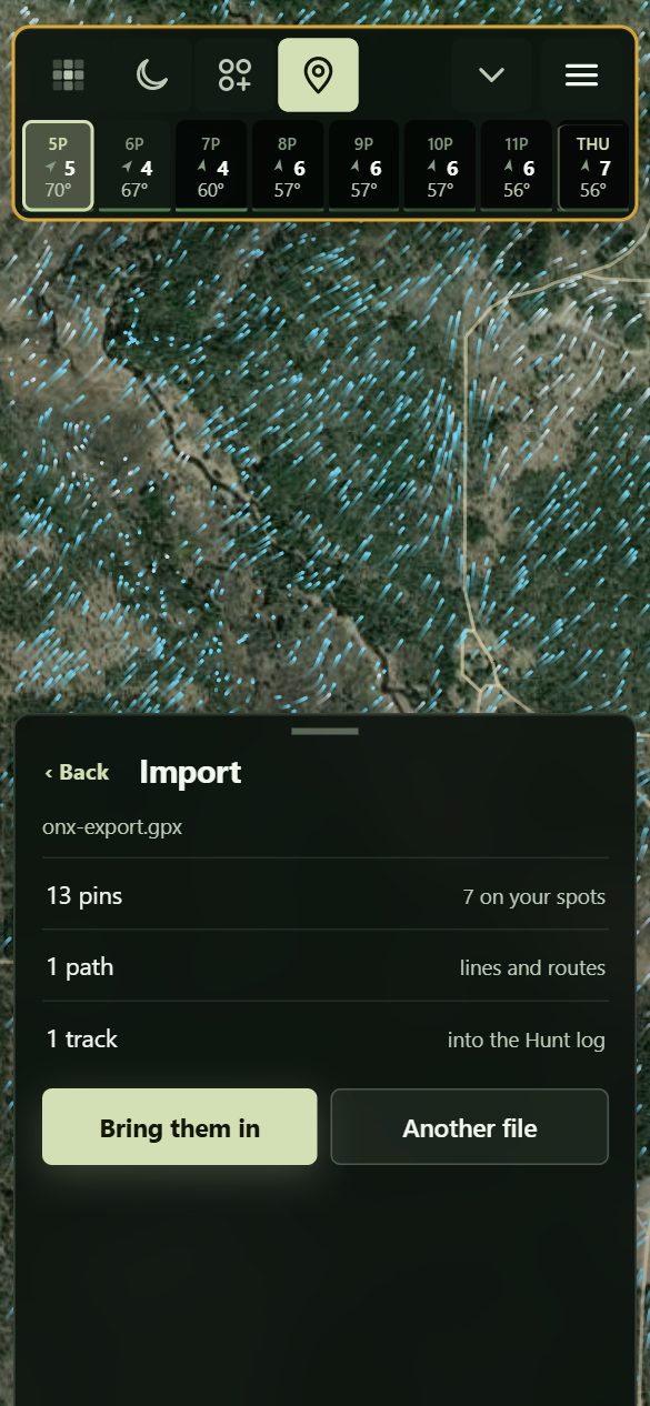
Groundwind's Import sheet with onx-export.gpx read: 13 pins, 7 of them on your spots, 1 path, 1 track, and Bring them in

Your onX export

Pick the file.

Groundwind reads it and shows what's in it before anything is kept.

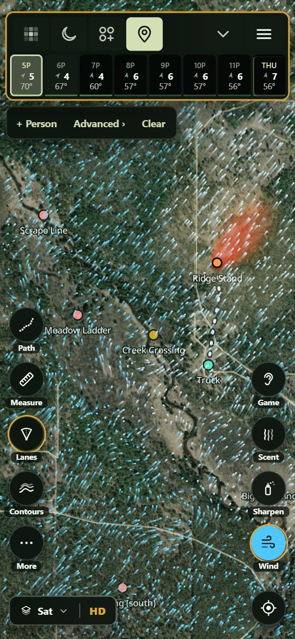
The stands from onX on the map at Pigeon River, Michigan: Scrape Line, Meadow Ladder, Creek Crossing and Ridge Stand, the walk in from the truck, the evening's wind at head height, and the scent cone from Ridge Stand

Pigeon River, Michigan

Your stands, with the wind.

Every stand you marked, with the evening's wind at head height and the scent from Ridge Stand.
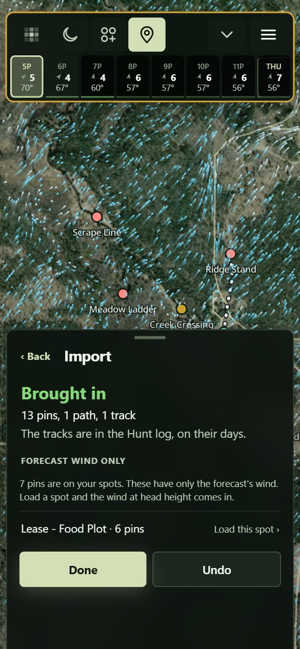
Brought in: 13 pins, 1 path, 1 track. Under Forecast wind only, a lease with 6 pins and Load this spot

Your other ground

Load the rest.

Pins on ground you haven't loaded yet show up here. One tap loads the wind there, free.

Three steps.

  1. Export from onX.On a computer, open onX's web map and go to My Content. Tap Select, then Select all, or pick the ones you want. Export, and pick GPX. Lines and shapes keep their shape better as KML.
  2. Send it to your phone.Email it to yourself, or save it to Files or Google Drive.
  3. Import it.In Groundwind, open Pins and tap Import, then choose the file. Or open this page on your phone and tap Import your file.

Garmin, Gaia GPS, Google Earth and most mapping apps export GPX or KML too, and they come in the same way.

What comes across.

Waypoints
Pins, with their names and notes. A stand, a camp or where you park, going by its name.
Tracks
Your hunt log, as outings on the days you walked them.
Lines and routes
Paths on the map, with their length and the time on foot.
Shapes
Not yet. They're counted and left out.

onX leaves photos, colours and icons out of its exports. Bring the same file in twice and nothing doubles up, and Undo takes it all back off.

Your spots stay yours.

The file is read on your phone, and your pins, paths and tracks stay there. We don't see where they are unless you ask us to load a spot.

Keep onX.

onX gets you to the property line. Groundwind gets you to full draw. Keep onX for land, landowners and the whole map, and bring the stands that matter here for the wind, the thermals and your scent.

Import your file

Groundwind beside onX and the other apps ›